Kopaonik
EXPLORE, EXPERIENCE, WIN!!!
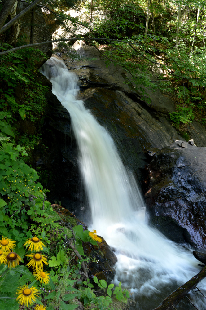
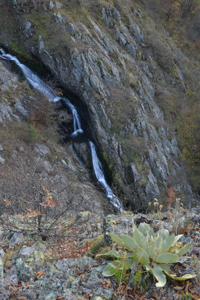
Surface water on Kopaonik are very common and belong to the first class. The best-known sources:
– Javor česma on the east slope of the Jaram, with an average yield of water about 50 l/min and the temperature 4ºC.
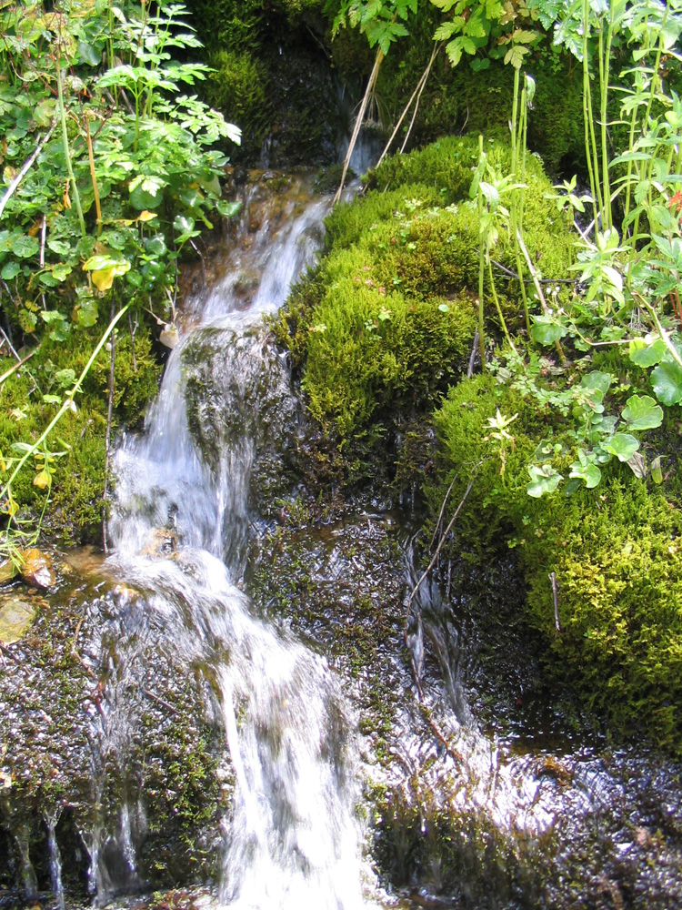
– Between Srebrnac and Bregovi above the road to Gvozdac a series of 7 water sources can be seen, which create a small waterfall. These sources are called “Sedam suza”.
– Source “Marine vode” appears at an altitude of 1,700 meters above sea level, on the southwest slope of the Veliki Karaman. The water temperature is 4ºC.
– Source “Krčmar voda” is below Pančić’s peak at an altitude of 1,950 meters above sea level, is one of the coldest (4ºC) mineral resources in Serbia with increased radioactivity.
– Sources “Pajino preslo” and “Kaznovske bačije” also have cold water with increased radioactivity.
The main watercourse in Kopaonik is Samokovska River. It is formed of a large number of tributaries (Marine vode, Karaman potok and other streams). The upper river flow makes a large number of “meander”, and then from Pašino bačište and Štirnjački lug it creates gorge for itself and further on flowing with a strong decline to Jošanička River. Most watercourses of Kopaonik belong to the Ibar and Toplica. These are: Barska reka, Lisinska, Rudnička, Zdravačka, Reljinska.


Natural reserves
Walking tours
Excursion sites
Attractions
Churches and church property
Cultural and historical sights
Monasteries
Active vacation
Sport and recreation
Gastro offer
Cultural offer
Fun
Hotels
Apart Hotels
Resort
Lodging and hostels
Villas
Apartments and rooms
What to see
Jelovarnik
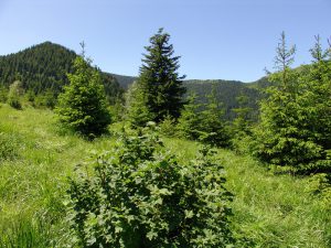
Nature reserve Jelovarnik covers an area of 57.14 ha. The chief value of this reserve gives the waterfall of the same name which is surrounded by natural polydominant beech forests
Gobelja
The natural reserve is located on Mala Gobelja, including the source crest Gobelja River and extends from arch arched ridge on the line: Oštri krš – Velika Gobelja -Mala Gobelja, t
Duboka
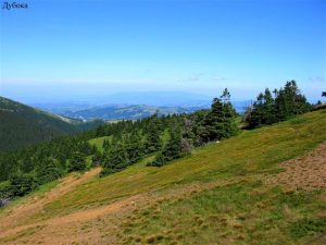
The reserve is located on the left side of the Duboka River valley, climbing up from the river basin, from 1,020 to 1,780 meters above sea level. It covers an area of 97.33 ha. Bas
Bele stene
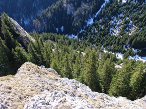
The reserve covers the gutter Bele Stene as well as forests that descend to “Metodje” and “Jelak” and occupies an area of 76.21 ha. Basic values of this reserve are the plant commu
What to do

Samokovska reka
The trail passes through two nature reserves: Samokovska reka i Kozje stene. The total length of the track: about 8,5 kilometers Type of trail: tourist recreational trail The durat

Jelovarnik
The waterfall Jelovarnik can be reached by the local macadam road Brzeće-Mramor-Rudnik-Zaplanina and it is about 4 km away from the Mramor pass. The total length of the track: abou

Treska
Treska, one of the prominent peaks of the Ravni Kopaonik, with conical top Spike (1,622 m), is often resort for Kopaonik visitors. The total length of the trail: about 10 kilometer

Jankove bare
The total length of the track: about 15 kilometers Type of trail: mountain tourism trail The duration of hiking: 5-6 hours of walking Degree of difficulty: Medium difficult trail
Where to stay
Apart hotel Mamut *
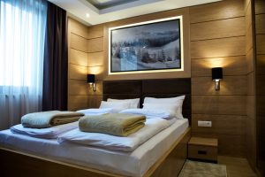
Mamut Apartments are located at the very center of Kopaonik resort. The facility offers 13 luxuriously equipped apartment which will completely satisfy the needs of the guests. Wit

Kragujevac resort
The Kragujevac resort is located 100 m from the “Sunčani vrhovi” residence. It has 250 beds in two blocks. It has sport courts and parking space.
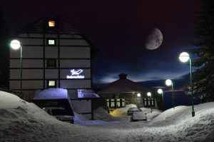
Hotel Srebrna lisica ***
Hotel Srebrna lisica is located between the track Malo Jezero and Suncana dolina and has 35 comfortable apartments and 9 double rooms. The hotel has a restaurant, bar, games room,
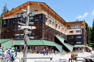
Residence Rtanj
Residence Rtanj is located in Kopaonik, below the top of Mali Karaman. It has 234 beds in double, triple and quadruple rooms. Each has a bathroom, TV and wi-fi. Within the hotel th
 2019
2019